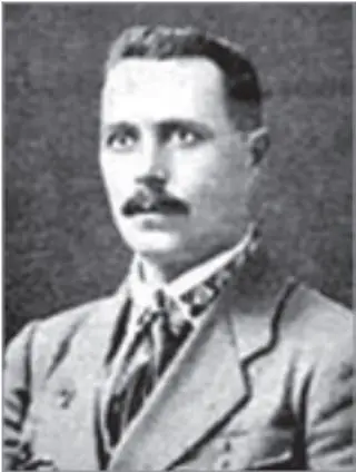
Fedir Steshko, 1920Portrait of the musicologist and UPR Army colonel Fedir Steshko, 1920. In 1922 Steshko moved to Prague in connection with the creation of the Ukrainian Free University and headed the chair of music history at the Drahomanov Institute. Source: Wikimedia Commons.
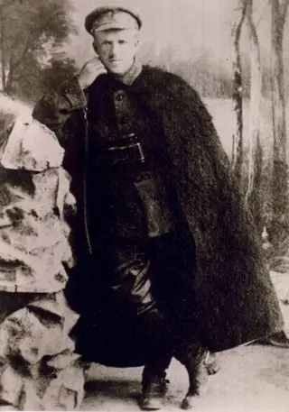
General Yurii Tiutiunnyk, 1920General Yurii Tiutiunnyk, 1920. In November 1921 he commanded the UNR Insurgent Army in the Second Winter Campaign. Source: Wikimedia Commons.
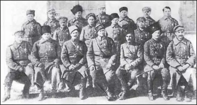
Second Winter Campaign participants in Kalisz, 1921A group of Second Winter Campaign participants in the internment camp for UNR Army soldiers in Kalisz in autumn 1921, before they left for Ukraine. Source: Wikimedia Commons.
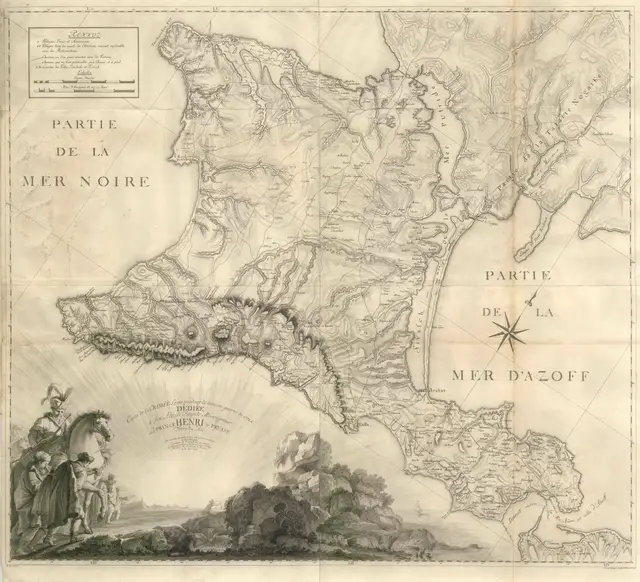
1776 map of the Crimean peninsula
Україна або козацька земля з прилеглими провінціями Валахії, Молдавії і Малої Татарії, зображена Йоганом-Баптистом ГоманномIt is known by the abbreviated name "Terra Cosaccorum". Johann Baptist Hohmann accumulated all the achievements of scientists, geographers, historians and data about the current situation in Ukraine known at the beginning of the 1700s to make this map. The site of the Battle of Poltava in 1709 is marked on the map; the lands of Transdanubian Sich, which were transferred to Turkey in 1711, are marked as part of the Crimean Khanate; the specified construction of the Perekop Wall, etc. In the cartouche, the territory is named Vkraina in the Latin manner, and already on the map itself it is marked as Ukraina.